



Beautiful China









Photos by State Administration of Science, Technology and Industry for National Defense/Chinese Academy of Sciences
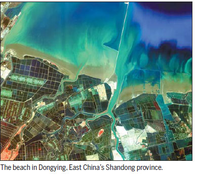
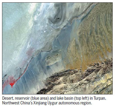
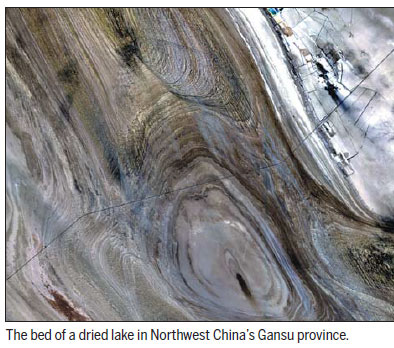
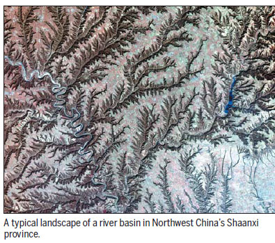
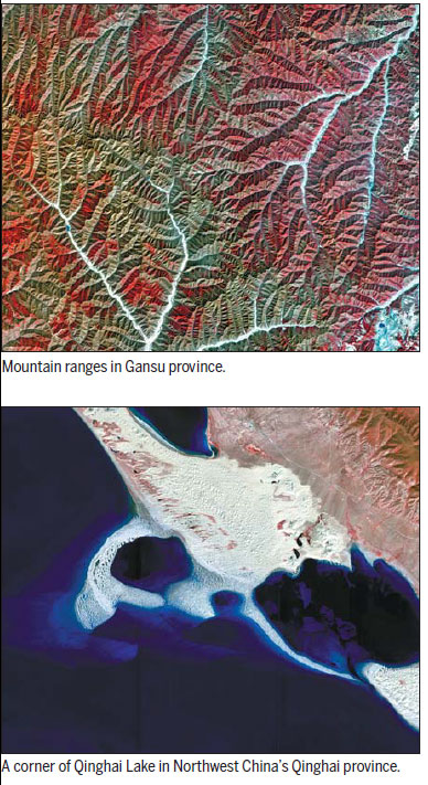
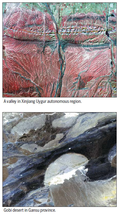
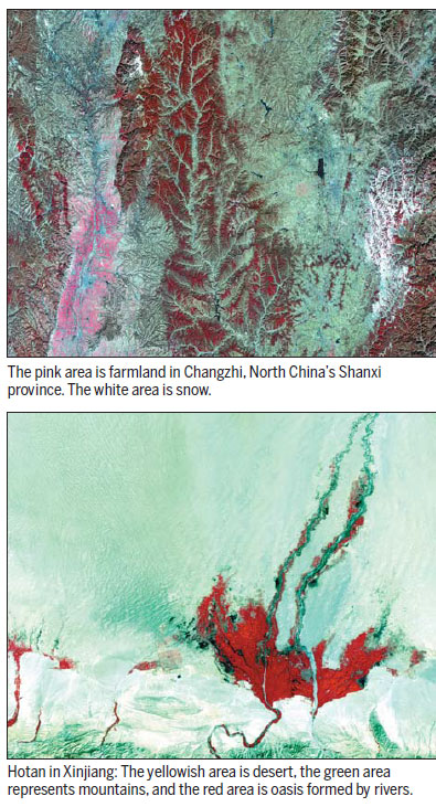
Gaofen-1 is a satellite launched last April as part of the country's HD Earth observation system. These images that show the natural landscape of China are captured by the satellite.
Gaofen-1 has an imaging resolution of 1 meter; while the world record is held by DigitalGlobe, the precision of whose WorldView-2 that participated in the search for MH370 is 0.5 meter.
The activation of the Gaofen-1 satellite marks a milestone in a program that will substantially improve the nation's capabilities in disaster relief, surveying and environmental protection, says the State Administration of Science, Technology and Industry for National Defense, which oversees the program.
The satellite is also widely used in geographic and resource surveys, climate-change monitoring, precision agriculture and city planning. Chinese police have used the Gaofen-1 Satellite database to discover illegal border crossings, it is reported.
(China Daily Africa Weekly 09/12/2014 page4)


Today's Top News
- China's major industrial firms' profits jump 18.2%
- China-Serbia cooperative leap from roads to robots
- Chinese FM highlights China's contributions to UN cause
- Economists call for closer Sino-US AI cooperation
- Pakistani PM honored for agricultural alliance
- Serbian president praises China's tech achievements





