



Ningxia, a region of fascinating physical, human and historic diversity









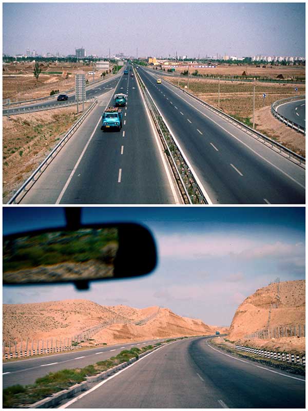
In 1997 a new expressway led out of Yinchuan, crossing the Yellow River and into an increasingly arid environment. Reaching a plateau, we turned left onto a gravel road descending into a steep sided valley before crossing a shallow river. Getting out the jeep I started walking toward what at first resembled a cliff. Scrambling up its steep sides I soon found myself standing on what had once been a beacon tower atop the Great Wall. Maps show considerable stretches of the Wall crisscrossing parts of Ningxia - after all this was historically a strategic area defending against invasion from the north and west. Indeed the sections within today’s Ningxia measured up to 1,507 kilometers of which only 518 kilometers remain. Construction was mostly rammed earth which over time suffered the ravages of weather and human activities. Often in remote locations it was difficult to protect. From my vantage point, I looked across the wastes of the western extent of the Ordos Desert toward Inner Mongolia. There appeared no habitation with often only the scantiest hint of vegetation along the watered valley I had crossed. Sitting there I thought of the sheer discomfort of the soldiers manning the Wall particularly during sand storms such as I encountered on a later visit.
Yinchuan was comfortable but from the city I would head west along the Yellow River valley to Yongning before turning south to reach a geographically different Ningxia.
An increasingly hilly area marked the beginning of the Liupan Mountains. Much of the land appeared terraced for farming. Despite unseasonal grey and damp weather the area was significantly greener and held a greater biodiversity than much of the region I had previously travelled through. The mountains where the Wei river rises separated the northern lightly populated nomadic lands from the more settled agricultural lands that eventually spread toward the East China Plain. Highway S101 led toward the historic prefecture-level city of Guyuan. Sitting in a strategic pass on a former eastern branch of the fabled Silk Road it historically had a strong military importance. Reaching its zenith during the Mong Dynasty Guyuan controlled a route connecting central Shaanxi to the western lands beyond the Great Wall.





