



Beidou satellites reach deep into Pacific Ocean for real-time data









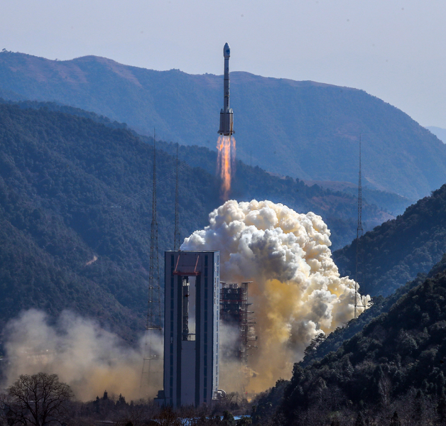
In a major breakthrough, China has successfully transmitted real-time data to a depth of 6,000 meters in the ocean using its own Beidou satellites during a scientific expedition, the Chinese Academy of Sciences' Institute of Oceanology said.
The technology solves the disadvantages of small payload volumes, limited power supplies and huge data sizes associated with deep-sea survey devices. It also reduces dependence on foreign communications satellites, said Wang Fan, director of the institute.
"New technology that combines inductive coupling and underwater acoustic communication has been used to extend transmission to 6,000 meters from the earlier 3,000 meters," Wang said.
The satellite communication is one of the successes logged by Chinese scientists aboard the research vessel Kexue ("Science") during its latest mission into the western Pacific Ocean. The vessel returned to its home port in Qingdao West Coast New Area in Qingdao, Shandong province, on Thursday.
China's scientific observation network in the region has also been upgraded.
"The utilization of Beidou satellites was part of an upgrade of the network," said Wang Jianing, chief scientist of the expedition, which started in mid-November.
"Our scientists developed special communication and transmission technology to make sure quantities of data acquired by subsurface survey devices can be transmitted to land-based laboratories every hour," Wang said.
Wang added that scientists also updated batteries and optimized sites for 20 units of subsurface survey devices.
Currently, China also has four units of big buoys and movable onboard monitoring facilities in the western Pacific, the Institute of Oceanology said.
"With the facilities, collection of relevant data has been increasing steadily over the past five years," it said.
It added that the data also has applications in weather and marine environment forecasting.
The Kexue sailed more than 22,000 kilometers during its 74-day mission, the longest distance and time it has covered outside the country since its maiden voyage.


- China-Laos Railway sees rising cross-border passenger traffic
- Xi replies to letter from Chinese, US students participating in 'A Shared Voyage: China-US Youth Friendship Program'
- Xi, Surinamese president exchange congratulations over 50th anniversary of ties
- Xi, Austrian president exchange congratulations over 55th anniversary of ties
- Fudan University reveals top 10 scientific and technological advances of 2025
- Shenzhou XXI astronauts complete handover, ready for returning to Earth soon





