


How Qomolangma rose to new heights










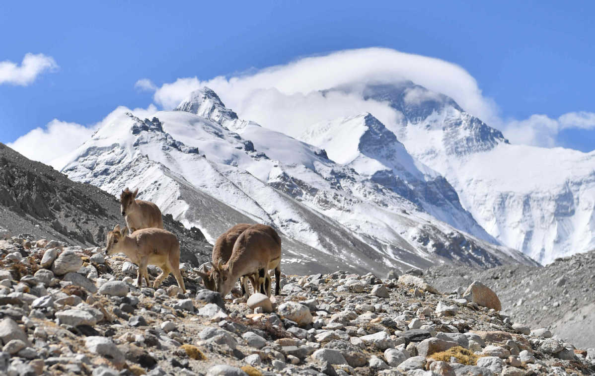
Meticulous work carried out on world's highest peak
The world's highest mountain officially became a little bit taller this month.
Qomolangma, known in the West as Mount Everest and which straddles the border between China and Nepal, now stands at 8,848.86 meters in the record books, according to an announcement made by the two countries on Dec 8.
With this year marking the 65th anniversary of the establishment of diplomatic relations between the two nations, the announcement was hailed as one of great significance.
President Xi Jinping said in a letter to his Nepalese counterpart, Bidya Devi Bhandari, that it marked a significant link between past and future, fully reflecting the high level of the evolving relationship between China and Nepal.
Xi said teams from the two countries overcame a series of difficulties, carried out important work and finally made a new determination of the mountain's height.
The spring climbing season on Qomolangma runs from late April to the end of May, as conditions at that time of year are favorable.
However, reaching the summit is difficult because of the thin air, and blizzards that can occur at any time.
Li Guopeng, captain of the Ministry of Natural Resources' First Geodetic Surveying Brigade, said, "We chose more than 70 core members who are physically strong and experienced climbers."
The Chinese team planned to complete preparatory work by the end of April, but did not have sufficient supplies of oxygen until April 28.
After much coordination work between departments, Li said they finally received enough oxygen, including eight bottles from Nepal.
On May 16, the team members began climbing the mountain in favorable conditions, before having to call off the attempt because of bad weather. A second attempt six days later also had to be abandoned due to the risk of avalanches, a major cause of death on Qomolangma.
On May 26, the survey team set out again and reached the summit at 11 am next day.
The team members stayed at the summit for a record 150 minutes, quickly setting up a surveying beacon and other equipment, including satellites and radar systems, to determine the mountain's height.
Li said their work effectively combined traditional measuring techniques and cutting-edge technology to ensure accuracy and precision.
A range of new technology developed in China was used to calibrate the mountain's height, including the BeiDou Satellite Navigation System for receiving and sending signals and data.
The team also used 5G communications technology, with domestic telecom giants China Mobile and Huawei providing advice during the ascent.
Li said: "Most team members left the Qomolangma region by June 18. The outdoor work took 111 days from the time the team arrived in the Tibet autonomous region on March 2."
Along with climbing and measuring, a considerable amount of work had to be completed on the ground.
"The preparations included data collection work that started as early as April last year," Li said.





