


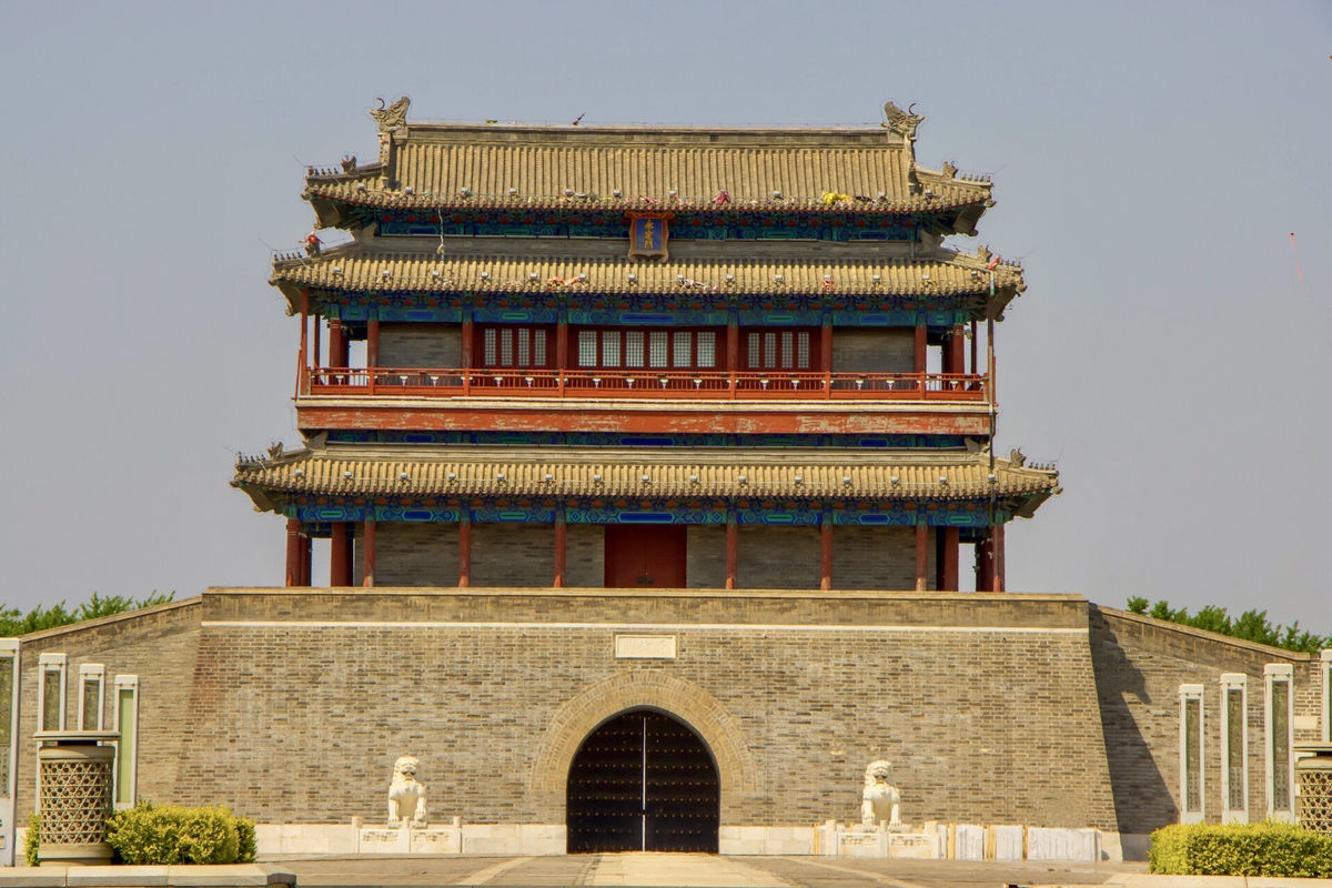
Beijing has occupied its present location since 1271. A succession of earlier cities had been built relatively close to the present city, though succumbing to the invasions and turmoil of those earlier periods in history. The historic precursor to present-day Beijing's site was Zhongdu, located close to Fengtai district. Indeed ongoing construction of the impressive Lize Financial Business District is where once there was a city gate of that name, Lize.
Zhongdu was capital of the Jin Dynasty (1115-1234), but by 1215 attacked and destroyed by the northern invaders.
By 1271, a new city, Dadu, located slightly northeast of Zhongdu, was declared capital of the Yuan Dynasty (1271-1368). Lasting only 97 years, the Yuan did lay the foundations for present-day Beijing. Some of the city's older alleys can trace their origins to that period.
Dadu would be built in harmony with an axis line (zhong zhou xian 中 軸 線 )initially 3.7 kilometers long, which would epitomize the importance of the center, or zhong. Over subsequent years, this philosophy would continue being applied toward the city's layout. It was to represent the concept of center or middle of the country. The line to stand as a backbone of the city, reflecting precision, symmetry. The city to be laid out in harmony with the axis.
In 1368, the Yuan was unseated by the Ming, who continued to rule until 1644. Initially the capital was relocated south to Nanjing. However, by 1421, Ming Emperor Yongle had reinstated Beijing as the capital.
The northern section of former Yuan Dadu was abandoned. A much stronger city wall would run roughly along the line of today's No 2 metro line. Eventually, an outer city wall was constructed that included Yongdingmen Gate, built in 1553. It became the southerly point of a by-then 7.8 kilometer axis.
The Ming represented a construction period for some of China's finest historic architecture. The Axis Line acting as a meridian, along which much of that early city would be laid out in symmetry.
The axis, going through the core area of the historic city of Beijing, is the longest urban central axis still existing in the world.
Forbidden City, constructed 1406-1420, sits exactly on the axis, representing its position then at the center of the Middle Kingdom. The Dragon Throne (longyi) within the palace's premier structure, the Hall of Supreme Harmony, straddles the line.
Referred to as Imperial Way, only the emperor could walk along the axis, although during ceremonial occasions, he would be carried in a highly ornate chair.
Located in harmony with the palace, but beyond the city walls, sit the Altars of Sun (ritan) to the east, Moon (yuetan) to the west, and Earth (ditan) to the north. In the south, close to Yongdingmen, are Temples of Heaven (tiantan) to the east and Agriculture (xiannongtan) to the west.





