


Loess Plateau sees remarkable ecological transformation










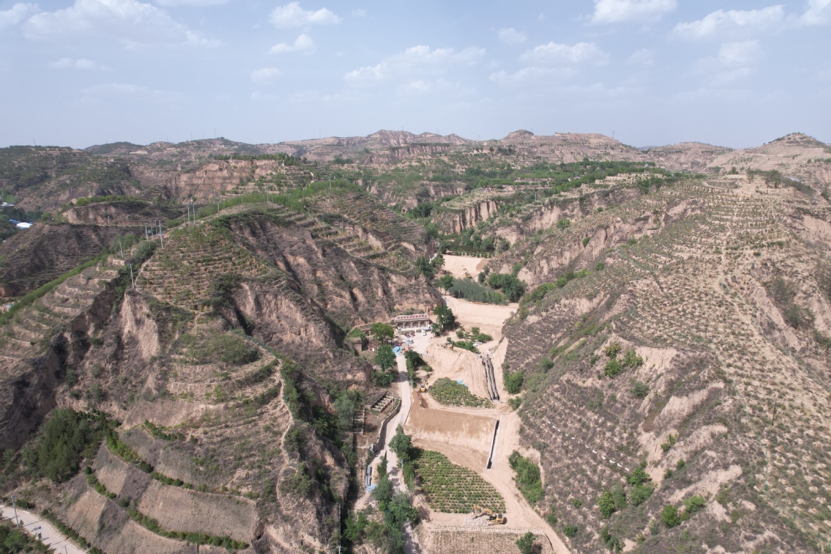
In the rugged terrain of the Loess Plateau in Shaanxi province, a remarkable transformation is unfolding in Suide county.
Gao Jianjian, chief of the ecological engineering construction department at the Suide Administration and Supervision Bureau of Soil and Water Conservation of the Yellow River, expressed delight at the progress made at the Xindiangou Water and Soil Conservation Demonstration Park in Suide.
"This region used to be one of the most severely affected areas by soil erosion on the Loess Plateau, but after years of scientific management, the area now has experienced a substantial reduction in sediment transported to the Yellow River, and transformed itself into Suide's picturesque backyard garden," she said.
Xu Naimin, former chief engineer of the Suide Soil and Water Conservation Scientific Experimental Station of the Yellow River Water Conservancy Commission, recalled the challenging conditions upon his arrival in 1952. The area was once barren, covered in yellow sand with no vegetation, making soil erosion control efforts extremely daunting.
In 1953, Suide established the Xindiangou experimental site and other research sites to study soil erosion control methods in the local loess hilly and ravine areas. Xindiangou ravine, previously a significant source of sediment for the Yellow River, had been plagued by severe soil erosion.
Over the past 70 years, Suide has developed a comprehensive "three lines of defense" integrated management model tailored to the local topographical features of loess hills and ravines. This model includes constructing terraced fields on gentle slopes, cultivating shrubs on steep ravine slopes and building warp land dams at the bottom of ravines for flood control, sediment trapping and farming.





