


The struggle to stand on top of the world
First summit of Qomolangma's north slope still carries weight 65 years on










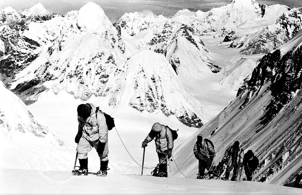
Overcoming setbacks
To explore the northern route of Mount Qomolangma, China conducted three acclimatization expeditions starting in March 1960.
The first reached an altitude of 6,800 meters before encountering an impassable ice wall. The second reached over 7,200 meters but was halted by strong winds. The third reached over 8,600 meters but was forced to retreat due to severe frostbite and casualties, Yuan said.
These expeditions helped the team map the climbing route, establish camps and transport supplies, and accumulate crucial experience for their fourth summit attempt.
At 4:20 am on May 25, during the fourth expedition, Wang Fuzhou, Gonpo and Qu Yinhua — oxygen-depleted, fingers blackened by frostbite — summited in darkness, planting a Chinese national flag and leaving the footprints of the Chinese people atop the world's highest peak for the first time, Yuan said.
After descending, team members recounted the summit experience: when they reached the top of the visible rock, they mistakenly believed they had reached the summit and were overjoyed, according to Yuan.
However, as they looked west, a snow slope several meters higher appeared. Crossing it, they found themselves on a conical summit surrounded by endless white snow, with no higher ground visible — confirming they had reached Qomolangma's true peak, Yuan said.
Climbers today follow the same path, also needing to scale that rock before seeing the snow slope and reaching the summit.
Thus, even though no video footage of their summit was recorded due to nighttime conditions and camera issues, their detailed recollections proved the successful ascent and silenced skeptics, according to Yuan.
Thanks to the feat achieved by the Chinese mountaineering team, the boundary treaty between the People's Republic of China and the Kingdom of Nepal — where the southern slope of the peak lies — was officially signed in 1961, resolving the historical boundary issues between the two countries, according to Xinhua News Agency.
As Gonpo later reflected: "We carried the nation's hopes on our backs. Even if only one of us remained, we would fight to the end and reach the summit."
Six decades on, their journey remains a testament to resilience and the unyielding spirit that lifts humanity to impossible heights.





