


Great Wall explorer records unmapped ruins
Enthusiast spends 200 days a year in the wild taking notes and photos










Gripping self-made hiking poles, Li Shixiang picks his way along the sheer cliffs of the Yellow River's Heishan Gorge in Zhongwei, Ningxia Hui autonomous region, under the blazing sun.
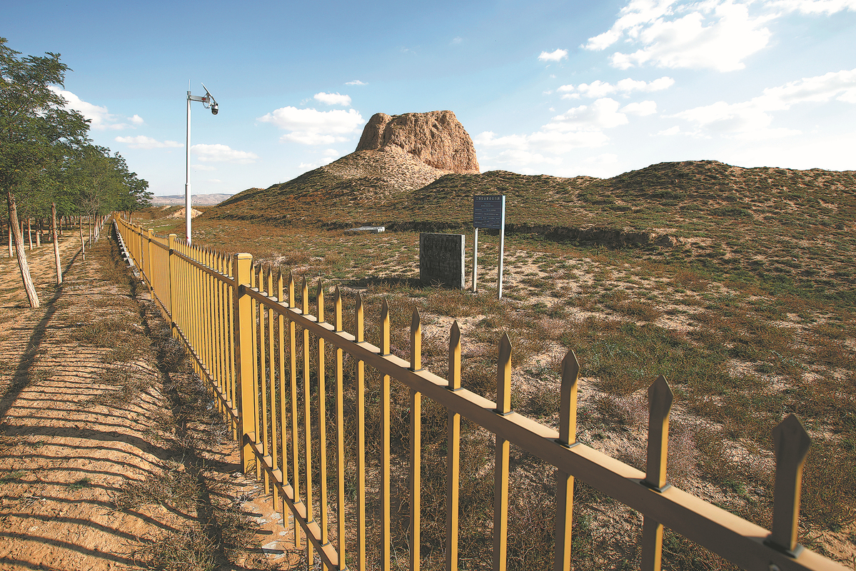
The 49-year-old amateur archaeologist is searching for the remains of the Great Wall, which was mainly built on mountain ridges across northern China using rammed earth, stones and bricks.
The UNESCO World Heritage Site was constructed over the course of 2,000 years. It worked as a fortification system to defend against nomadic invasions.
Over the past two decades, Li has traveled over 300,000 kilometers looking for the architectural wonder's ruins that are unmarked on maps.
He has amassed more than 100,000 photos and countless notes and drawings.
"I'm afraid of falling behind the pace at which the Great Wall ruins are disappearing. So I'm racing against time to document them with words and pictures," Li said.
Northwest China's Ningxia is home to 1,500 km of the Great Wall segments built from the Warring States Period (475-221 BC) to the Ming Dynasty (1368-1644), earning it the title "Museum of the Great Wall".
Growing up near an ancient city in Ningxia's Haiyuan county, Li enjoyed climbing the walls with friends and picking up ancient coins and arrowheads in his childhood.
As an adult, he ran a printing shop in the county. Business trips to rural areas frequently exposed him to scattered ancient ruins of the walls and watch towers, igniting his passion for Great Wall research.
"The Great Wall is more than an ancient structure. It embodies the resilience and spirit of the Chinese nation," Li said.
Despite lacking formal academic training, Li developed his own methodology through hands-on experience: pinpointing potential locations by cross-referencing historical records with satellite imagery before conducting field surveys.
Upon discovering a new ruin, he would record its position coordinates and document his findings with photographs and written notes.
All the data would be used to refine his Great Wall distribution map.





