


Global geopark in Tanzania revived with Chinese aid
Project shows power of green development and technology










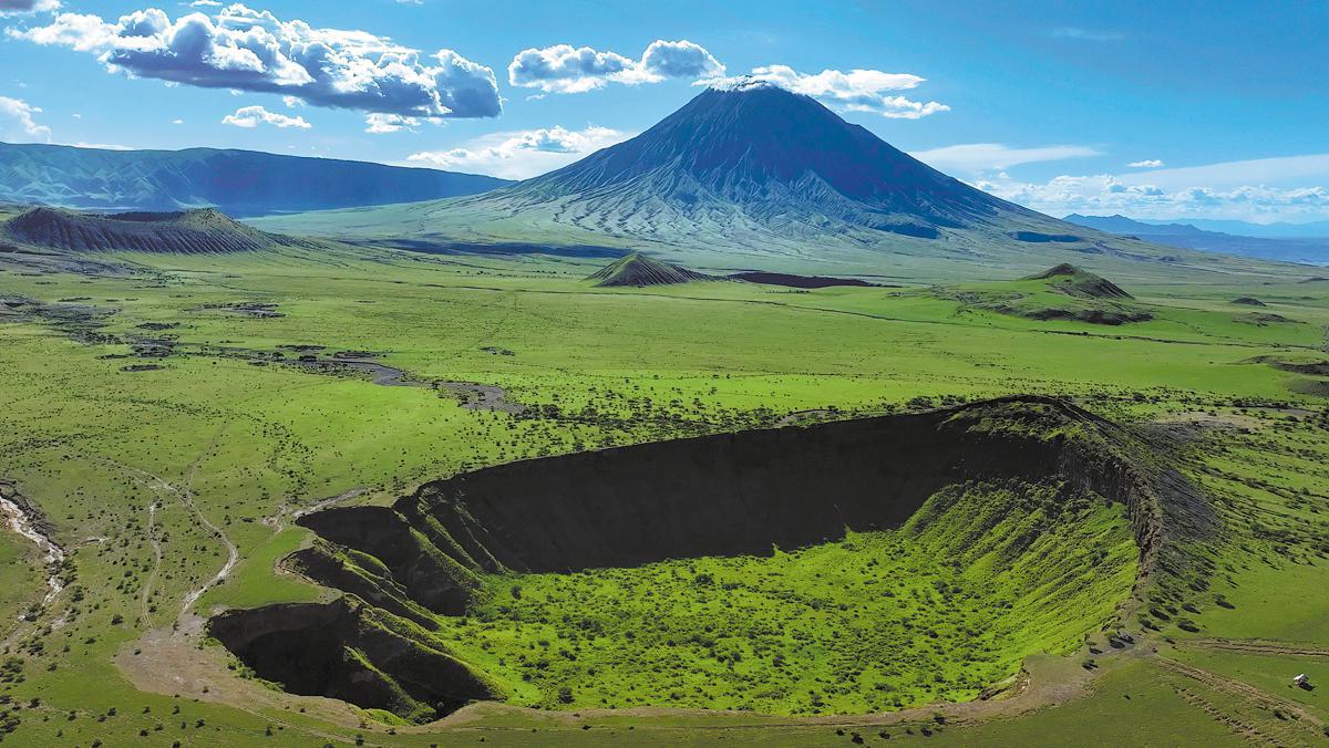
Located in northeastern Tanzania, it is the only global geopark in Sub-Saharan Africa with internationally significant geological features. It is renowned for the Ngorongoro Crater, the active Ol Doinyo Lengai volcano and the paleontological sites of the Olduvai Gorge, opening the doors to tourism, conservation, education and research.
In 2018, the United Nations Educational, Scientific and Cultural Organization endorsed it as a global geopark, covering around 12,000 square kilometers across the Arusha districts of Ngorongoro, Karatu and Monduli. However, due to problems such as poor fundamental infrastructure, inadequate visitor information and insufficient scientific interpretation content, the geopark received a yellow warning from UNESCO in 2022 and was given a two-year period for corrections and reevaluation.
China stepped in to assist at that critical moment. During Tanzanian President Samia Suluhu Hassan's visit to China in November that same year, she and Chinese President Xi Jinping attended the signing ceremony for a China-aided project aimed at addressing the challenges faced by the geopark. Supported by the Agency for International Economic Cooperation of the Ministry of Commerce, the Chinese Embassy in Tanzania and the China Geological Survey, the project has included both technical assistance from the Tianjin Center of the China Geological Survey and physical infrastructure handled by the China Railway 25th Bureau Group.
"As the inaugural China aid geopark project, all the people are 'crossing the river by feeling the stones'," said Ren Junping, director of the Southern Africa Geological Survey Cooperation Center of Tianjin Center, who led the project.
"We are responsible for the entire workflow, from planning and implementation to construction," Ren said, adding that there were challenges in balancing the local needs with respect for nature in the planning process, as well as the necessity to work together to address logistical problems and deal with the frequent downpours.
Ren considered the investigation of geological heritage resources as the foundation of the project, with the purpose of determining the distribution and availability of resources within the area. This could provide essential data for spatial planning, scientific expedition route design, and the establishment of a database encompassing geological heritage as well as natural and cultural resources.





