


 Comments
  Print
Print  Mail
Mail  Large Medium Small
BEIJING - China has dispatched five drones to capture images of quake-hit areas, according to the National Administration of Surveying, Mapping and Geoinformation.
The drone images will cover the hardest-hit Baoxing, Taiping and Longmen townships.
The administration has already obtained satellite images of pre-disaster Lushan county, of Ya'an city in Sichuan province, through the Ziyuan III satellite.
It has published satellite images of quake-hit areas and adjacent places on www.tianditu.cn, and will publish the latest drone images when they are available.
The administration is working as quickly as possible to compile maps to help with the quake-relief work.
A 7.0-magnitude earthquake hit Lushan county at 8:02 am Saturday Beijing Time.
Special coverage: Quake Strikes Sichuan

 Women across the country celebrate their day
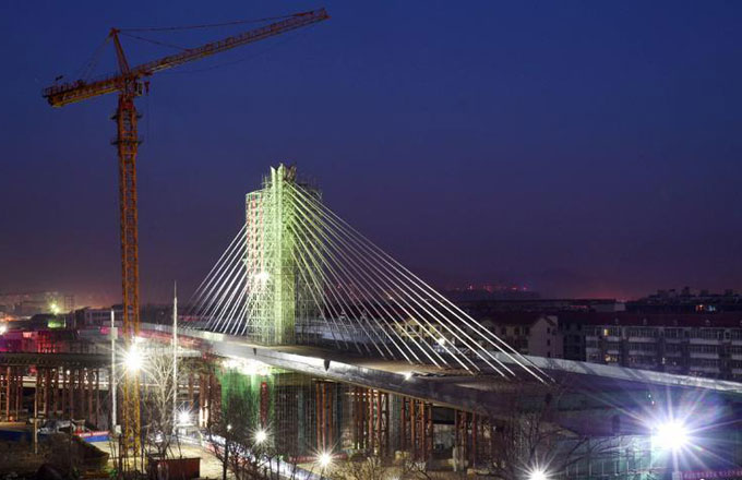 World's longest single axis bridge swings into place
 Inner Mongolia section of Yellow River starts to thaw
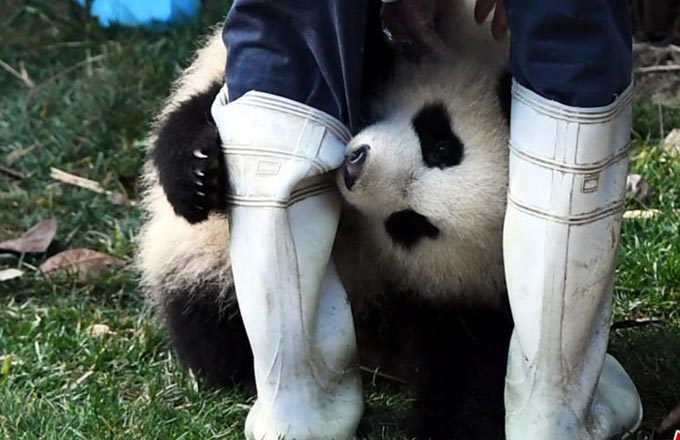 Panda cub dubbed 'the most needy' after video goes viral
 20 newly crowned top attractions for your spring tour
 Suzhou builds replica of Tower Bridge
 Primary school has 28 sets of multiple births
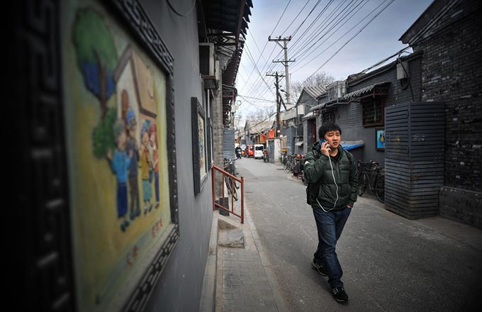 A Beijinger's different working track
 Chinese scientists create 4 synthetic yeast chromosomes
 'Seagull mother' feeds thousands of birds at own expense
 Park Geun-hye, from 1st S.Korean female president to 1st ousted leader
 EU leaders confirms open, rules-based trade position
 Chinese Super League week one: Five things we learned
 Schalke tie with Monchengladbach in UEFA Europa League

Copyright 1995 - . All rights reserved. The content (including but not limited to text, photo, multimedia information, etc) published in this site belongs to China Daily Information Co (CDIC). Without written authorization from CDIC, such content shall not be republished or used in any form. Note: Browsers with 1024*768 or higher resolution are suggested for this site.
License for publishing multimedia online 0108263 Registration Number: 20100000002731